Miami Geographic was founded by Matthew Toro in April 2014 as a web journal designed to conduct and document “explorations at the intersection of Miami’s space, time, nature, and society”.
It’s an urban geography blog that looks at the city at multiple scales of understanding, from the hyper-local to the global, and from multiple analytic perspectives.

Miami Geographic‘s mission is to build a deeper understanding of Miami’s historical and contemporary dynamics, challenges, and possibilities.
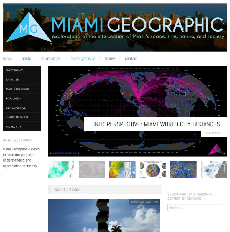
Miami Geographic is also a highly visual and data-driven medium, priding itself on its use of maps and other graphic elements. Original cartographic output and geospatial data visualizations (geovisualizations) feature prominently on the site and set Miami Geographic apart from other local information outlets.

You must be logged in to post a comment.