For the first time in about four years, I’ll be returning to Broward College as an Adjunct Geography Professor.
I’m teaching World Geography (GEA 2000). It’s a survey course introducing students to . . . basically the world itself. Exciting stuff, to say the least!
To properly introduce students to each region, I assign map homework. Blank maps of the 10 world regions covered in class are provided. Students must identify, label, and symbolize a set of features — physiographic and political — on the map pertaining to each region.
While it may seem a bit elementary, the exercise has been shown to be an effective way to expose students to the basic configuration of world regional geography. Moreover, I’ve personally found labelling and symbolizing maps by hand to be wonderfully therapeutic and meditative.
There’s a reason the adult coloring book industry is undergoing such explosive growth. As CNN recently reported:
[T]hough the first commercially successful adult coloring books were published in 2012 and 2013, the once-niche hobby has now grown into a full-on trend, with everyone from researchers at Johns Hopkins University to the editors of Yoga Journal suggesting coloring as an alternative to meditation.
The trend, and apparent science behind it, is increasingly well documented in the popular media:
- A Neuroscientist Patiently Explains the Allure of the Adult Coloring Book. Science of Us. 2016/01/10
- Why Adult Coloring Books are Good for You. CNN. 2016/01/06.
- The Zen of Adult Coloring Books. The Atlantic. 2015/11/04
- Inside the Adult Coloring Book Craze. Yahoo! News. 2015/09/02
- Why Adults are Buying Coloring Books (For Themselves). The New Yorker. 2015/07/12
So why not try some adult coloring yourself, all while refreshing your knowledge of our planet’s basic principles of geographic organization?
I made the following blank study (coloring) maps using all free GIS data from Natural Earth.
So go ahead, have some healthy geographical-cartographic coloring fun!
[Be sure to download the higher-quality pdf files, not the images.]
Europe [pdf] Russia, Central Asia, Transcaucasus [pdf]
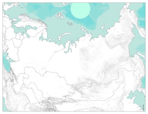 Middle East (Southwest Asia) & North Africa [pdf]
Sub-Saharan Africa [pdf]
United States & Canada [pdf] Latin America & the Caribbean [pdf]
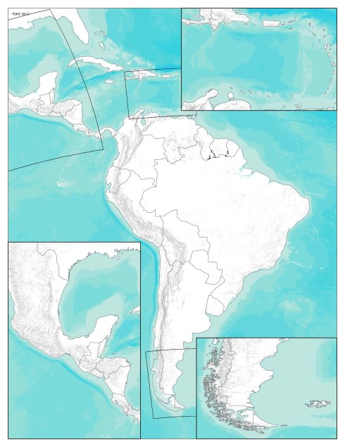
East Asia [pdf]

South Asia [pdf]
Southeast Asia [pdf]
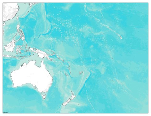
Oceania [pdf]